In an era dominated by satellites and digital mapping technologies, one might presume that every corner of the earth is charted with pinpoint precision. Yet, there exists a cadre of explorers working under the cover of darkness, known as “midnight cartographers,” who dedicate their nights to mapping the unseen.
The Origins of Nocturnal Mapping
The tradition of nocturnal exploration stretches back centuries. Historically, sailors navigated by stars, and mystery-shrouded lands were sketched by those daring enough to venture into the unknown. However, the modern midnight cartographer differs markedly from their historic counterparts. These individuals are not guided solely by starlight but are equipped with sophisticated instruments capable of revealing what escapes the naked eye.
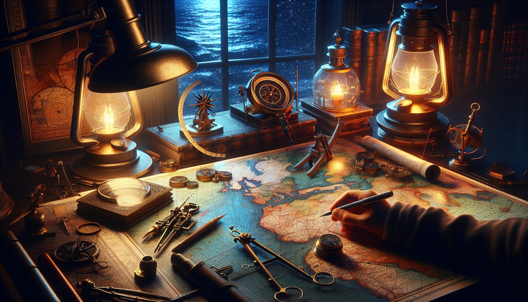
The Tools of the Trade
- Infrared Cameras: These cameras allow cartographers to detect heat signatures, uncovering not only geographical features but also wildlife activity that goes dormant in the daylight hours.
- Lidar Technology: Lidar uses laser light to create high-resolution maps. It’s ideal for uncovering terrain that’s hidden beneath vegetation or in areas remote and inhospitable.
- Drone Mapping: “Drones are revolutionizing the way we chart landscapes,” notes National Geographic. They provide aerial perspectives in real-time, allowing for rapid assessment and data collection.
“There is something profoundly humbling about revealing what was previously hidden,” says noted cartographer and explorer, Dr. Elena Martinez. “Each new map is like lifting a veil off the world.”
Mapping the Ecological Nightlife
For many species, the night is alive with activity. Midnight cartographers play a crucial role in understanding these nocturnal ecosystems. Researchers from the World Wildlife Fund stress the importance of mapping animal movements under the cover of darkness, as these nocturnal habits may hold keys to species survival and ecological balance.
For instance, bats—critical pollinators and insect controllers—are mapped to track their migratory paths. This information aids in conservation efforts and guides the placement of wind turbines to minimize harm to these creatures.
Urban Landscapes: The Underworld Odyssey
Cities, too, teem with unseen layers. There exists an underground world, filled with abandoned tunnels, sewers, and crypts, charted meticulously by these urban explorers. This subterranean maze, often off-limits, offers insights into the historical layers of urban development.
In cities like Paris and New York, where the ghostly echoes of the past linger beneath modern streets, cartographers clandestinely map these urban underworlds to preserve the whispering history beneath the surface.
The Ethical Considerations
With exploration comes responsibility. Midnight cartographers are at the forefront of an ethical debate: how to balance exploration with conservation. Revealing hidden worlds might make them vulnerable to exploitation or overexposure.
An article from the Smithsonian Magazine highlights that “with the power to uncover also comes the responsibility to protect.” As stewards of these unseen worlds, cartographers often work in collaboration with local communities, ensuring that sacred sites remain respected and protected.
Conclusion: The Unending Quest
Despite advances in technology, much of our world remains shrouded in mystery, waiting to be uncovered by those daring enough to venture out when the rest of the world sleeps. Midnight cartographers, with their unique blend of ancient skills and cutting-edge technology, are at the forefront of a new age of discovery.
They remind us that even in our digitally mapped era, mysteries abound. As the sun sets and shadows grow long, these modern-day explorers quietly go about their work, unraveling the secrets of the unseen world, one map at a time.
Comments