UFO Cartographies: Mapping Unknown Visitors
Throughout history, humanity has been captivated by the mysterious and the unknown. One of the most enduring enigmas is the phenomenon of Unidentified Flying Objects (UFOs). While many theories attempt to unravel these mysteries, one fascinating approach is the art and science of mapping UFO sightings—a discipline we might call UFO Cartography. This article explores how mapping these unexplained encounters can reveal patterns, provoke questions, and offer insights into those unexplained visitors to our skies.
Historical Background
The modern era of UFO sightings began around the mid-20th century, a time already buzzing with developments in aviation and space exploration. It was June 24, 1947, when pilot Kenneth Arnold reported seeing nine high-speed objects near Mount Rainier, Washington. As news spread, sightings increased, spurring interest in charting these occurrences geographically.
“I said they flew like a saucer would if you skipped it across the water,” Arnold described (History.com), coining the term “flying saucer.” The sighting frenzy led to increased efforts in recording and mapping such events, leading to the first attempts at UFO cartography.
The Need for UFO Mapping
Understanding the spread and concentration of UFO sightings is invaluable not just for enthusiasts and researchers but also for skeptics seeking clarity. Mapping these sightings can help in the following ways:
- Identifying Patterns: Are there specific locations that are hotbeds for sightings?
- Temporal Analysis: Are there times of the year or specific periods during the day when sightings peak?
- Correlation with Technology: How do UFO sighting patterns correspond with technological advancements, flight paths, and satellite developments?
Mapping these unknown visitors can thus offer compelling insights into their nature and possible origins.
Famous Maps and Studies
Several initiatives have contributed to the cartographic study of UFOs. One notable effort is the National UFO Reporting Center (NUFORC), a database that logs and maps sightings. Similarly, MUFON (Mutual UFO Network) boasts an extensive catalog of mapped sightings worldwide.
“The maps highlight clusters and trends helping to focus our investigation efforts,” says Peter Davenport, director of NUFORC (NUFORC).
These maps have revealed surprising trends, such as increased sightings around nuclear facilities and notable celestial events. Significant maps have also documented waves of sightings, from the mysterious “Phoenix Lights” incident in 1997 to more recent occurrences in North Carolina’s Brown Mountain region.
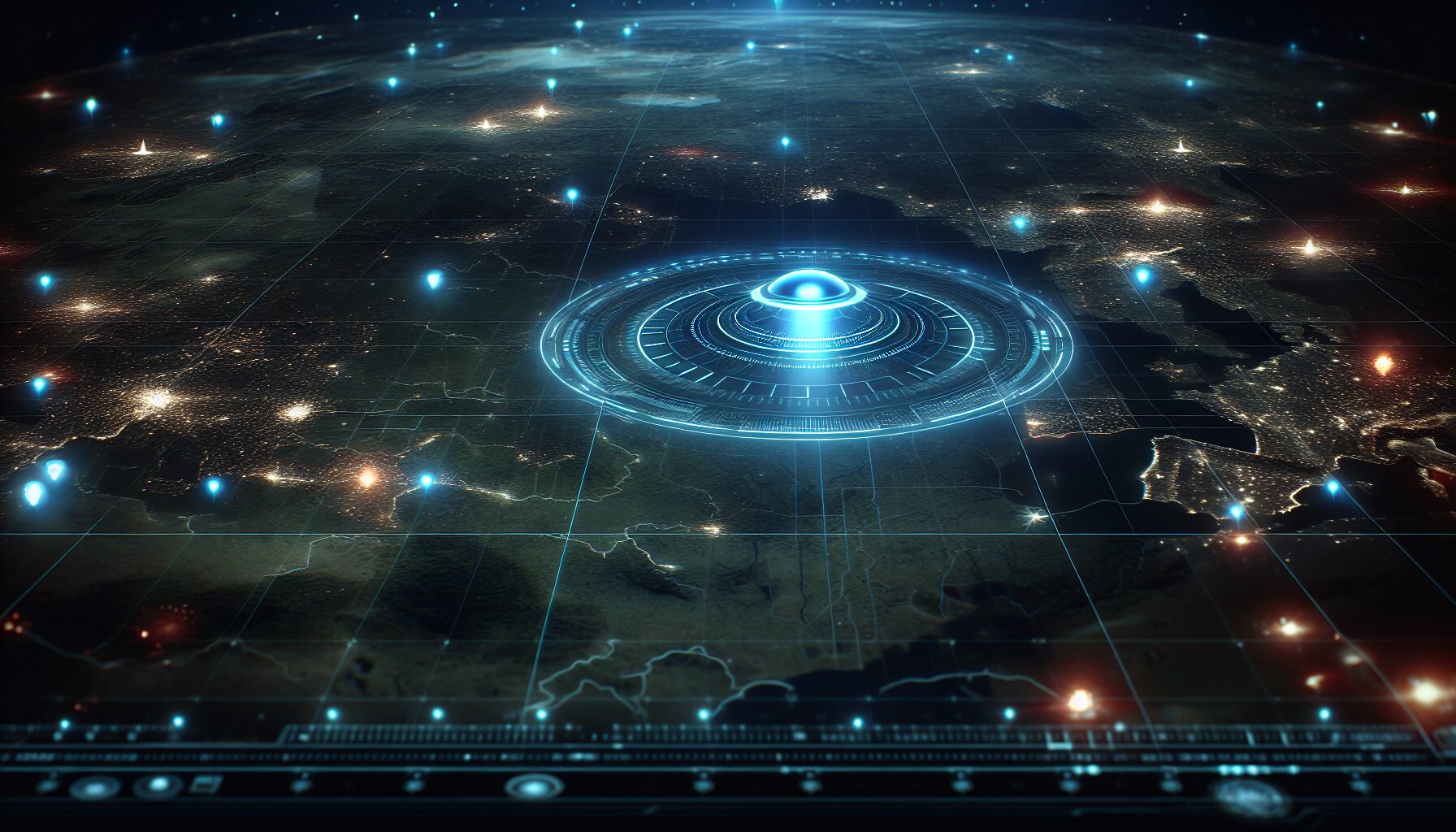
Technological Advancements and Modern Mapping
Today’s mapping techniques have evolved significantly since the rudimentary methods of the 1950s. With advancements in GIS (Geographic Information Systems) and high-resolution satellite imagery, researchers can now create precise maps overlaying multiple data sources:
- Geospatial Analysis: Utilizing GIS software to analyze spatial data related to UFO sightings.
- Public Access and Collaboration: Interactive maps on platforms like Google Earth allow for public contributions, enriching data sets.
- Machine Learning Algorithms: AI analyses enable pattern recognition and anomaly detection across large datasets.
These technologies have taken UFO cartography leaps and bounds forward, allowing for comprehensive studies that were not possible in earlier decades.
The Sociocultural Impact of UFO Maps
UFO maps do more than chart the skies—they resonate with the public’s imagination, inciting curiosity and sometimes fear. They have been utilized in films, literature, and art, becoming iconic symbols of the mysterious unknown. Cartographs serve as cultural artifacts, reflecting the zeitgeist of their times.
Furthermore, these maps have political implications, often used to argue for increased transparency and the declassification of government documents regarding unexplained phenomena. As noted by former Senator Harry Reid, a proponent of greater disclosure, “The American people deserve to be informed” about UFO activities (New York Times).
The Future of UFO Cartography
As technology evolves, so will the methods and accuracy of mapping UFOs. Future directions for this field may include:
- Integration with Astronomical Observations: Using advanced telescopes and space observation to corroborate sightings with astronomical data.
- Global Network of Observers: Building a real-time, global web of citizen scientists contributing data.
- Enhanced Data Visualization: Transforming raw data into dynamic and interactive visual formats for broader public engagement.
By fusing traditional cartographic techniques with cutting-edge technology, the discipline of UFO mapping will continue to provide valuable insights into one of humanity’s greatest mysteries. The maps of the future might just hold the key to unlocking secrets of our universe yet to be understood.
UFO cartography, at its core, is not just about mapping terrain or plotting a course; it is about capturing a story—a story woven into the fabric of human curiosity and the quest for understanding. As we continue to chart these unknown visitors, may our maps guide us to boundaries beyond where fact meets fiction.
Comments