Starflake Cartographers: Mapping the Winter Skies
During the cold months, when nights grow longer and clearer, a celestial extravaganza unfolds above us, punctuated by a tapestry of constellations particular to the winter season. For millennia, these stars have drawn the fascination and art of cartographers, known as “Starflake Cartographers,” who uniquely blend science and storytelling to chart the night sky.
The Art and Science of Celestial Mapping
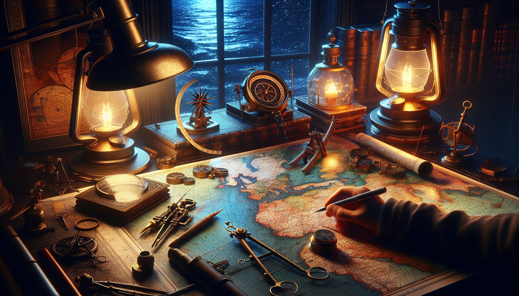
The practice of celestial cartography dates back to ancient civilizations that sought to document the stars they observed. Claudius Ptolemy, in the 2nd century, famously catalogued over 1,000 stars in his work, the Almagest. Today’s “Starflake Cartographers” continue this legacy, building upon the work of forebears while utilizing advanced technology to expand and refine their night sky maps.
Unlike terrestrial maps, star maps present unique challenges, such as the need to depict the spherical nature of the heavens on a flat plane. Innovations over the centuries have yielded different methods for projecting night skies, including planispheres and celestial globes.
The Richness of Winter Constellations
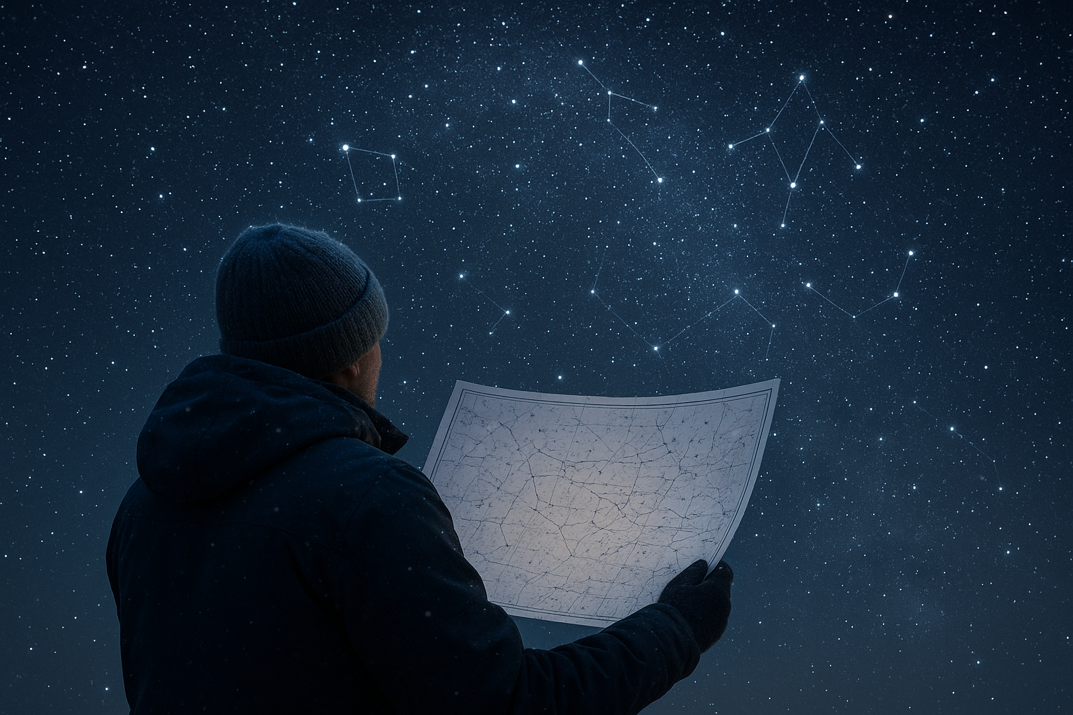
The winter sky in the Northern Hemisphere offers some of the most striking constellations and astronomical phenomena. Here are a few highlights:
- Orion: Perhaps the most recognizable winter constellation, Orion is known for the prominent belt formed by three bright stars. It’s often seen as a beacon guiding our gaze to other nearby constellations.
- Taurus: Known for containing the star cluster Pleiades, Taurus is a favorite among astronomy enthusiasts. The vivid orange-red star Aldebaran adds to its allure.
- Gemini: Represented by the twins Castor and Pollux, this constellation tells of friendship and duality in mythology and frequently hosts meteor showers like the Geminids.
These stellar patterns not only guide navigation but also enrich cultural stories. For instance, the Native American Dakota people see Wintermaker rather than Orion—a figure who reaches across the sky and is deeply embedded in their seasonal stories.
Technological Advancements in Star Mapping
Modern star mapping is now at the intersection of art and high-tech innovation. With the advent of digital technology, Starflake Cartographers harness sophisticated software and telescopic data to produce precise and richly detailed star maps, often incorporating interactive elements for educational purposes. The NASA Stellarium project, for instance, is a powerful open-source planetarium platform that overlays historical observations with real-time data.
Moreover, satellite technology contributes profoundly. The European Space Agency’s Gaia mission plays a crucial role by creating the most detailed 3D map of the Milky Way, documenting billions of stars and revealing intricate details of our galaxy that were once inaccessible.
Cultural Significance and Global Perspectives
Star maps reflect a tapestry of cultural interpretations, where scientific endeavor meets cultural myth. Different cultures perceive the night sky in ways that reflect their worldviews and historical contexts. These perspectives contribute to a diverse understanding of our shared skies.
“The constellations reflect humanity’s enduring effort to find patterns and meaning in the vast cosmos,” said Dr. Mariela Cunning, a cultural astronomer from the University of Example. “Each culture imbues the stars with stories that are interwoven with identity and belonging.”
For many indigenous cultures, star maps are more than mere navigational tools; they are rich repositories of knowledge and philosophy. Efforts to decolonize astronomy emphasize incorporating these indigenous methodologies and acknowledging their place in global scientific dialogues.
The Future of Starflake Cartography
As Starflake Cartographers continue their celestial labor, the field is poised for even more breakthroughs. Technological advances like augmented reality (AR) promise to transform how we experience the night sky, allowing users to superimpose constellation information onto their environment through smart devices. Educational initiatives can benefit immensely, making astronomy more accessible and engaging for the wider public.
Looking upwards on a crisp winter’s night invites a sense of humility and wonder. As humanity continues to chart the heavens, it is clear that the work of Starflake Cartographers serves as a bridge between our ancestors’ dreams and our present-day aspirations, capturing the essence of exploration, creativity, and the eternal allure of the stars.