Tag: mapping

  • Arcane Cartography – Mapping the Unseen

    Arcane Cartography – Mapping the Unseen

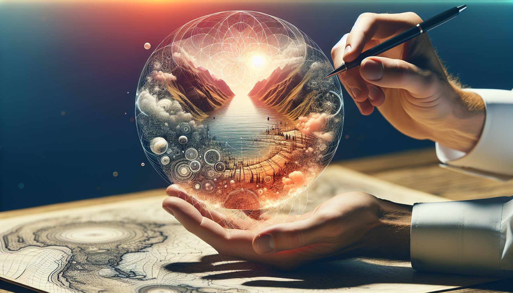
    From the mystical aeons of ancient civilizations to the digital realms of modern fantasy, the art of arcane cartography has always captured the human imagination. This map-making of the unseen intertwines myth, legend, and imagination with geographical representation, creating a tapestry that challenges our understanding of what maps are meant to convey.

    The Ancient Origins: Mapping the Cosmos and the Underworld

    Early examples of arcane cartography can be traced back to ancient civilizations where maps were infused with spiritual and mythical significance. The Babylonians created star maps and cosmological charts which not only illustrated celestial bodies but also their perceived divine paths.

    • Babylonian Star Maps: These were not just scientific instruments but served as a guide to understanding the fate and divine will associated with certain stars and constellations. [British Museum]
    • Egyptian Duat Maps: The ancient Egyptians drew detailed visual guides to the Duat, the realm of the dead, illustrating the journey one would take in the afterlife, complete with deities and obstacles encountered along the way.

    Medieval Manuscripts: Imaginary Lands and Floating Islands

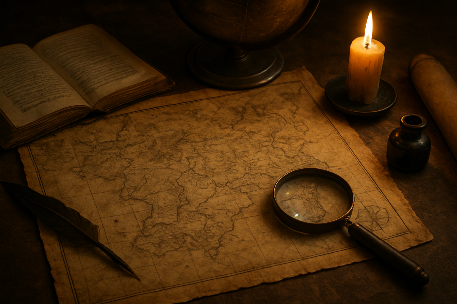
    In the Middle Ages, cartographers embraced a more imaginative approach, blending real geography with folklore. This era saw the birth of mappa mundi, medieval European world maps which often disregarded accurate scaling in favor of a more symbolic representation.

    • Hereford Mappa Mundi: A famous example, it includes not only geographical locations but also imaginary realms like the land of the Sciapods, people with one giant foot.
    • Isle of Avalon: Mystical islands, such as Avalon from Arthurian legends, were often placed at the fringes of world maps, representing realms that transcended the known world.

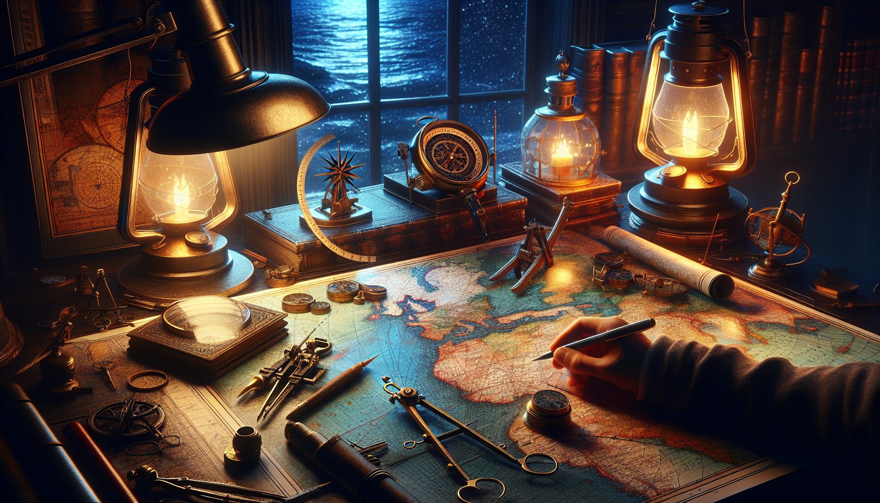
    Renaissance and Enlightenment: The Birth of Scientific Cartography with Arcane Echoes

    With advancements in navigation and physics during the Renaissance, maps became more scientific, yet the mystical element never fully disappeared. Thus, maps of this era often reflected both scientific rigor and an acknowledgment of worlds unseen and unexplored.

    “Maps encourage boldness. They’re like cryptic love letters. They make anything seem possible.” – Mark Jenkins

    The pursuit of mapping unknown realms extended into the maritime charts, where mythical creatures like sea serpents and leviathans were commonly illustrated to denote uncharted waters and potential dangers.

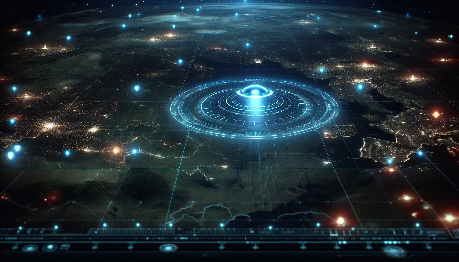
    The Modern Embrace of Fantasy Worlds

    In contemporary times, arcane cartography has found a flourishing home in the realm of fantasy literature and video games. The advent of digital technology has enabled maps to become interactive, layered, and more elaborate than ever before.

    • J.R.R. Tolkien’s Middle-earth: Perhaps the most renowned fantasy map, it provides an intricate and highly detailed vision of the lands, political territories, and journeys trademark to the epic tales of The Lord of the Rings.
    • Video Game Realms: Games such as The Elder Scrolls and The Legend of Zelda capitalize on detailed cartographic systems, allowing players to navigate and uncover layer upon layer of hidden lore.

    A Continuing Journey into the Unknown

    The legacy of arcane cartography urges us to question and explore realms beyond the mere physical. Our need to map the intangible and the mystical is a testament to our boundless curiosity. While technology advances and our world becomes increasingly mapped and measured, it is clear that there will always remain “places” beyond our understanding, waiting to be charted by the cartographers of the future.

    In the words of renowned cartographer and explorer Peter Whitfield, “The great affair is to move.” This encapsulates the essence of arcane cartography – it is a call to venture continuously into the unknown, to chart the undiscovered, and to embrace the eternal mystery of the unseen.

    The tradition of mapping the unseen marries our past with our future, reminding us that as long as there are dreams and stories yet to be told, there will always be new maps to draw.

  • UFO Cartographies – Mapping Unknown Visitors

    UFO Cartographies – Mapping Unknown Visitors

    UFO Cartographies: Mapping Unknown Visitors

    Throughout history, humanity has been captivated by the mysterious and the unknown. One of the most enduring enigmas is the phenomenon of Unidentified Flying Objects (UFOs). While many theories attempt to unravel these mysteries, one fascinating approach is the art and science of mapping UFO sightings—a discipline we might call UFO Cartography. This article explores how mapping these unexplained encounters can reveal patterns, provoke questions, and offer insights into those unexplained visitors to our skies.

    Historical Background

    The modern era of UFO sightings began around the mid-20th century, a time already buzzing with developments in aviation and space exploration. It was June 24, 1947, when pilot Kenneth Arnold reported seeing nine high-speed objects near Mount Rainier, Washington. As news spread, sightings increased, spurring interest in charting these occurrences geographically.

    “I said they flew like a saucer would if you skipped it across the water,” Arnold described (History.com), coining the term “flying saucer.” The sighting frenzy led to increased efforts in recording and mapping such events, leading to the first attempts at UFO cartography.

    The Need for UFO Mapping

    Understanding the spread and concentration of UFO sightings is invaluable not just for enthusiasts and researchers but also for skeptics seeking clarity. Mapping these sightings can help in the following ways:

    • Identifying Patterns: Are there specific locations that are hotbeds for sightings?
    • Temporal Analysis: Are there times of the year or specific periods during the day when sightings peak?
    • Correlation with Technology: How do UFO sighting patterns correspond with technological advancements, flight paths, and satellite developments?

    Mapping these unknown visitors can thus offer compelling insights into their nature and possible origins.

    Famous Maps and Studies

    Several initiatives have contributed to the cartographic study of UFOs. One notable effort is the National UFO Reporting Center (NUFORC), a database that logs and maps sightings. Similarly, MUFON (Mutual UFO Network) boasts an extensive catalog of mapped sightings worldwide.

    “The maps highlight clusters and trends helping to focus our investigation efforts,” says Peter Davenport, director of NUFORC (NUFORC).

    These maps have revealed surprising trends, such as increased sightings around nuclear facilities and notable celestial events. Significant maps have also documented waves of sightings, from the mysterious “Phoenix Lights” incident in 1997 to more recent occurrences in North Carolina’s Brown Mountain region.

    Technological Advancements and Modern Mapping

    Today’s mapping techniques have evolved significantly since the rudimentary methods of the 1950s. With advancements in GIS (Geographic Information Systems) and high-resolution satellite imagery, researchers can now create precise maps overlaying multiple data sources:

    • Geospatial Analysis: Utilizing GIS software to analyze spatial data related to UFO sightings.
    • Public Access and Collaboration: Interactive maps on platforms like Google Earth allow for public contributions, enriching data sets.
    • Machine Learning Algorithms: AI analyses enable pattern recognition and anomaly detection across large datasets.

    These technologies have taken UFO cartography leaps and bounds forward, allowing for comprehensive studies that were not possible in earlier decades.

    The Sociocultural Impact of UFO Maps

    UFO maps do more than chart the skies—they resonate with the public’s imagination, inciting curiosity and sometimes fear. They have been utilized in films, literature, and art, becoming iconic symbols of the mysterious unknown. Cartographs serve as cultural artifacts, reflecting the zeitgeist of their times.

    Furthermore, these maps have political implications, often used to argue for increased transparency and the declassification of government documents regarding unexplained phenomena. As noted by former Senator Harry Reid, a proponent of greater disclosure, “The American people deserve to be informed” about UFO activities (New York Times).

    The Future of UFO Cartography

    As technology evolves, so will the methods and accuracy of mapping UFOs. Future directions for this field may include:

    • Integration with Astronomical Observations: Using advanced telescopes and space observation to corroborate sightings with astronomical data.
    • Global Network of Observers: Building a real-time, global web of citizen scientists contributing data.
    • Enhanced Data Visualization: Transforming raw data into dynamic and interactive visual formats for broader public engagement.

    By fusing traditional cartographic techniques with cutting-edge technology, the discipline of UFO mapping will continue to provide valuable insights into one of humanity’s greatest mysteries. The maps of the future might just hold the key to unlocking secrets of our universe yet to be understood.

    UFO cartography, at its core, is not just about mapping terrain or plotting a course; it is about capturing a story—a story woven into the fabric of human curiosity and the quest for understanding. As we continue to chart these unknown visitors, may our maps guide us to boundaries beyond where fact meets fiction.

  • Cosmic Anatomy – Mapping the Universe’s Hidden Shapes

    Cosmic Anatomy – Mapping the Universe’s Hidden Shapes

    Cosmic Anatomy: Mapping the Universe’s Hidden Shapes

    The vast expanse of the universe has long captivated scientists and philosophers alike. Today, with the remarkable advancements in technology and data analysis, astronomers are delving deeper than ever into the “cosmic anatomy”—the study of the universe’s hidden shapes and patterns that define its large-scale structure.

    Unveiling the Cosmic Web

    The universe, though seemingly random when observed from Earth, is structured into a complex “cosmic web” consisting of dark matter, galaxies, and intergalactic gas. This intricate web forms the scaffolding of the cosmos, dictated by gravity and the laws of physics.

    “The cosmic web is a direct manifestation of the evolution of structure in the universe,” says Tom Abel, a renowned cosmologist at Stanford University. “It is a beautiful tapestry that shows how matter and energy interact on the largest scales.”

    The Role of Dark Matter

    A critical component of this cosmic architecture is dark matter, an elusive substance that doesn’t emit light or energy. Although it remains invisible, dark matter exerts a gravitational force that is crucial in holding galaxies together and forming the cosmic web.

    • Dark matter constitutes about 27% of the universe’s total mass and energy content.
    • It plays a pivotal role in the formation and clusters of galaxies.

    Recent observations leveraging gravitational lensing and cosmic microwave background radiation provide astronomers with insightful data to map these elusive structures.

    Mapping Hidden Shapes

    Advanced telescopes and satellites such as the Wilkinson Microwave Anisotropy Probe (WMAP) and the Planck Observatory have painted a more detailed picture of the universe. These tools capture data that help scientists “see” beyond the visible spectrum, tracing the universe’s hidden geometries.

    One groundbreaking project is the Dark Energy Spectroscopic Instrument (DESI), an international endeavor aimed at mapping the large-scale structure of the universe. By measuring the effect of dark energy—a mysterious force causing the universe to expand at an accelerating rate—DESI will chart the distances of over 35 million galaxies and quasars.

    The Future of Cosmic Cartography

    “As we expand our mapping of the universe, we gain unprecedented insights into its origins and fate,” explains Dr. Daniel Eisenstein, a key scientist involved with DESI. “Each discovery reveals the richness and complexity of cosmic history.”

    Understanding the cosmic anatomy continues to be a driving force in astrophysics, pushing the boundaries of knowledge and technology. With every new discovery, we unravel more of the universe’s intricacies, bringing us closer to a unified picture of its grande narrative.

  • Midnight Cartographers: Mapping the Unseen

    Midnight Cartographers: Mapping the Unseen

    In an era dominated by satellites and digital mapping technologies, one might presume that every corner of the earth is charted with pinpoint precision. Yet, there exists a cadre of explorers working under the cover of darkness, known as “midnight cartographers,” who dedicate their nights to mapping the unseen.

    The Origins of Nocturnal Mapping

    The tradition of nocturnal exploration stretches back centuries. Historically, sailors navigated by stars, and mystery-shrouded lands were sketched by those daring enough to venture into the unknown. However, the modern midnight cartographer differs markedly from their historic counterparts. These individuals are not guided solely by starlight but are equipped with sophisticated instruments capable of revealing what escapes the naked eye.

    The Tools of the Trade

    • Infrared Cameras: These cameras allow cartographers to detect heat signatures, uncovering not only geographical features but also wildlife activity that goes dormant in the daylight hours.
    • Lidar Technology: Lidar uses laser light to create high-resolution maps. It’s ideal for uncovering terrain that’s hidden beneath vegetation or in areas remote and inhospitable.
    • Drone Mapping: “Drones are revolutionizing the way we chart landscapes,” notes National Geographic. They provide aerial perspectives in real-time, allowing for rapid assessment and data collection.

    “There is something profoundly humbling about revealing what was previously hidden,” says noted cartographer and explorer, Dr. Elena Martinez. “Each new map is like lifting a veil off the world.”

    Mapping the Ecological Nightlife

    For many species, the night is alive with activity. Midnight cartographers play a crucial role in understanding these nocturnal ecosystems. Researchers from the World Wildlife Fund stress the importance of mapping animal movements under the cover of darkness, as these nocturnal habits may hold keys to species survival and ecological balance.

    For instance, bats—critical pollinators and insect controllers—are mapped to track their migratory paths. This information aids in conservation efforts and guides the placement of wind turbines to minimize harm to these creatures.

    Urban Landscapes: The Underworld Odyssey

    Cities, too, teem with unseen layers. There exists an underground world, filled with abandoned tunnels, sewers, and crypts, charted meticulously by these urban explorers. This subterranean maze, often off-limits, offers insights into the historical layers of urban development.

    In cities like Paris and New York, where the ghostly echoes of the past linger beneath modern streets, cartographers clandestinely map these urban underworlds to preserve the whispering history beneath the surface.

    The Ethical Considerations

    With exploration comes responsibility. Midnight cartographers are at the forefront of an ethical debate: how to balance exploration with conservation. Revealing hidden worlds might make them vulnerable to exploitation or overexposure.

    An article from the Smithsonian Magazine highlights that “with the power to uncover also comes the responsibility to protect.” As stewards of these unseen worlds, cartographers often work in collaboration with local communities, ensuring that sacred sites remain respected and protected.

    Conclusion: The Unending Quest

    Despite advances in technology, much of our world remains shrouded in mystery, waiting to be uncovered by those daring enough to venture out when the rest of the world sleeps. Midnight cartographers, with their unique blend of ancient skills and cutting-edge technology, are at the forefront of a new age of discovery.

    They remind us that even in our digitally mapped era, mysteries abound. As the sun sets and shadows grow long, these modern-day explorers quietly go about their work, unraveling the secrets of the unseen world, one map at a time.